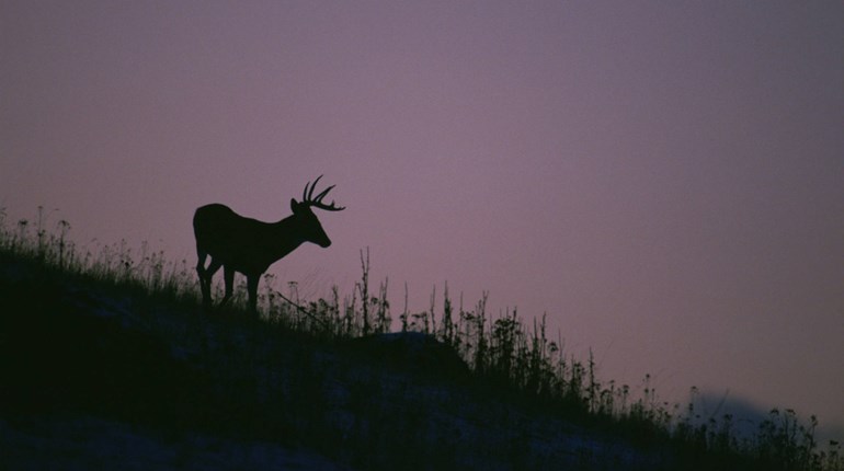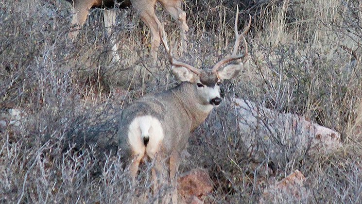
This 30-inch-wide mule deer buck did something I’ll never forget. We jumped him among two other smaller bucks when we peeked over a staircase of red cliffs that descended to the Rio Grande River and Mexico beyond. The bucks sprang out of a shadow 50 yards below us and bounded into a shallow wash. There was only one way out. They had to pop out again 200 yards away before a bench between the cliffs would take them out of sight. The small bucks ran out on that bench, but not that 30-inch buck.
I half slid down the steep hill. At the bottom I found a little draw, invisible from above, which cut almost directly toward where we’d stood and then back around the point where we’d been. It brought the buck within 100 feet of us. The monster’s tracks were there in the red dirt indicating what he’d done.
That happened on public land west of Texas’ Big Bend National Park. I’ve had other old mule deer bucks pull tricks like that before. Mature bucks are different, but the places they look for on public land can be found.
Find Big-Buck Hideouts
Justin Richins is a mule deer guide I respect. I’ve stalked mule deer with him with my bow. His outfit, The R&K Hunting Co., is one of the quality outfitters represented by NRA Outdoors. So I ask him about big bucks on public lands and he says, “I don’t know if I want to tell people this stuff.”
Richins is one of those rare hunters who is both a master of the art of stalking mule deer and a tech geek who scouts year-round, so I prod him and he says, “Well, uncovering overlooked spots used to be like hunting for clues in a crime investigation—there was so much on-the-ground research. But now digital mapping products make it easy, if you know what to look for.”
He uses the digital maps from onXmaps. They give precise GPS coordinates of public and private lands so you can actively see if you’re on or off public land. You can install them on a GPS unit or use them on an Android or iPhone via an app. With these maps you’ll even see the names of the private landowners. More importantly, you’ll be able to find small parcels of public land that might not be marked and you’ll be able to see how to use public lands to access sections that might be overlooked. The software has topographic maps and aerial photography. If a landowner accuses you of trespassing (a lot of small public parcels are treated as private land in the West) all you’ll have to do is show your GPS or smart phone to prove you know exactly where you stand.
Last season Richins used this technology to find a new hunting location in Colorado. He narrowed his search by looking for areas that abut hard-to-draw areas. He further focused on regions that were mostly private, but that were entwined with public parcels. Richins lives in Utah and wanted to take his then 17-year-old daughter, Camberlynne, on this public-land hunt in Colorado’s mountains.
“By starting with maps on my computer I narrowed it down to a few spots,” says Richins. One spot had steep draws in foothills that fell steeply off a trail. It had private land on several sides, but he could get into it by hiking up and coming in from the top.
When he got there he saw most people were walking right by this section to get to the dark timber far above, but he could see good cover in those draws—tall sagebrush and bitterbrush. Best of all he couldn’t see down into those draws from the trail.
“It was November and the rut was on,” says Richins. “We dropped down with the early thermals rising up in our faces and before long we spotted does moving into the draws. This convinced me bucks would cruise in.”
He sat on the doe groups for several days and glassed constantly. When movement turned out to be a good buck checking the does, Richins and his daughter moved fast to cover 1,300 yards of steep terrain.
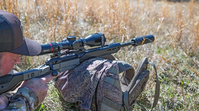
Richins is also an instructor at a long-range shooting school. He’d worked with his daughter until she became comfortable to 600 yards in the right conditions. In this case the shot was a touch over 500 yards, but she was able to get a solid rest on her pack. The 26-inch buck went right down.
Hunt Smart
A lot of hunters think they have to out-hike everyone else to get into big deer (that is one way to do it), but Richins says often it’s smarter to outthink others. Look for the transition areas between private agriculture areas and higher public lands, he says. If you can find access to these pockets of cover—either public access or a landowner who allows you to cross private ground to get to hard-to-access public land—you can get into some big deer. For bucks to get big, they need good cover, food and water in a spot hunters overlook or can’t access.
“When you find overlooked places with the right food and cover, you have to hunt smart,” says Richins. “If you bump a buck out of a sanctuary, especially before the rut, he’ll likely move to private lands. My typical tactic in Utah is to get high and glass bucks moving uphill early before moving close,” says Richins, “but on forested public lands you often can’t spot them this way. You have to narrow your search to specific habitat that holds deer, but that other hunters haven’t pressured.”
This is something those who primarily hunt whitetails can relate to. Instead of becoming overwhelmed by the vast expanses of mule deer country, start with digital maps before doing on-the-ground scouting as you look for small areas to hunt smart for a big buck.


